Warning: Undefined array key "project" in /home/users/web09/5/2/0230625/www.npo-tmic.org/wp-content/themes/emanon-business/templates/photo_select.php on line 267
Warning: Undefined array key "project" in /home/users/web09/5/2/0230625/www.npo-tmic.org/wp-content/themes/emanon-business/templates/photo_select.php on line 322
Warning: Undefined array key "submenu" in /home/users/web09/5/2/0230625/www.npo-tmic.org/wp-content/themes/emanon-business/templates/photo_select.php on line 323
キーワード:洪水の水深表示
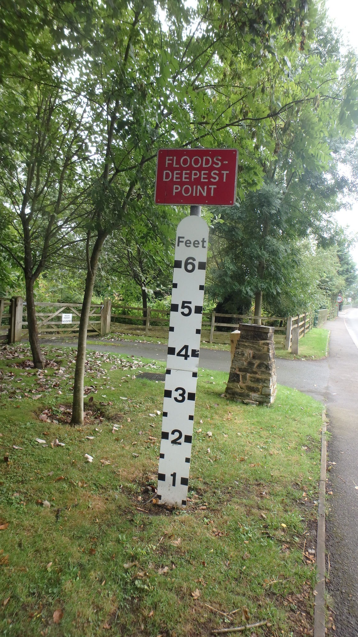
この辺りは低地で洪水最深箇所6フィートの標識があった。
洪水の水深表示